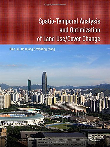
Spatio-temporal Analysis and Optimization of Land Use/Cover Change: Shenzhen as a Case Study
暫譯: 土地使用/覆蓋變化的空間時間分析與優化:以深圳為案例研究
Biao Liu, Bo Huang, Wenting Zhang
- 出版商: CRC
- 出版日期: 2017-08-24
- 售價: $3,270
- 貴賓價: 9.5 折 $3,106
- 語言: 英文
- 頁數: 206
- 裝訂: Paperback
- ISBN: 1138748773
- ISBN-13: 9781138748774
-
相關分類:
地理資訊系統 Gis
海外代購書籍(需單獨結帳)
相關主題

商品描述
This book proposes a method to solve land use problems, and has made some significant contributions to the land use analysis and optimization study fields. Firstly, three spatio-temporal logit models for land use change analysis, namely, geographically and temporally weighted logit model (GTWLM), spatio-temporal panel logit model (ST-PLM) and generalized spatio-temporal logit model (GSTLM), are proposed. GTWLM, which considers spatio-temporal non-stationarity, includes temporal data in a spatio-temporal framework by proposing a spatiotemporal distance. ST-PLM incorporates the spatio-temporal correlation and individual effect in one model. By integrating GTWLM and ST-PLM, the GSTLM explores spatio-temporal non-stationarity and correlations simultaneously, whilst considering their individual effects to construct an integrated model.
Secondly, a MOO-based two-level spatial planning of land use is proposed. The spatial planning aims at managing and coordinating the land use at different geographic extents and involves spatial layouts and structures of land use at different levels. In spatial planning, GIS and Remote Sensing are used to evaluate, analyze, and measure environmental, economic and social issues. The quantitative relationships between these objectives and spatial land use allocation are then used as rules in the MOO process to simulate environmental conditions under different spatial land use allocation scenarios. The book features a case study of Shenzhen city, the most important Special Economic Zone in China.
This book will be of interest to academics and professionals in the fields of urban planning, land resource management, remote sensing and geographic information systems.
商品描述(中文翻譯)
本書提出了一種解決土地使用問題的方法,並對土地使用分析和優化研究領域做出了重要貢獻。首先,提出了三種用於土地使用變化分析的時空邏輯模型,分別為地理和時間加權邏輯模型(Geographically and Temporally Weighted Logit Model, GTWLM)、時空面板邏輯模型(Spatio-Temporal Panel Logit Model, ST-PLM)和廣義時空邏輯模型(Generalized Spatio-Temporal Logit Model, GSTLM)。GTWLM考慮了時空非平穩性,通過提出時空距離將時間數據納入時空框架中。ST-PLM則在一個模型中整合了時空相關性和個體效應。通過整合GTWLM和ST-PLM,GSTLM同時探索時空非平穩性和相關性,同時考慮它們的個體效應以構建一個綜合模型。
其次,提出了一種基於多目標優化(MOO)的兩級土地使用空間規劃。該空間規劃旨在管理和協調不同地理範圍內的土地使用,並涉及不同層級的土地使用空間佈局和結構。在空間規劃中,使用地理資訊系統(GIS)和遙感技術來評估、分析和測量環境、經濟和社會問題。然後,這些目標與空間土地使用分配之間的定量關係被用作MOO過程中的規則,以模擬不同空間土地使用分配情境下的環境條件。本書還包含了中國最重要的特區——深圳市的案例研究。
本書將吸引城市規劃、土地資源管理、遙感和地理資訊系統等領域的學術界和專業人士的興趣。