商品描述
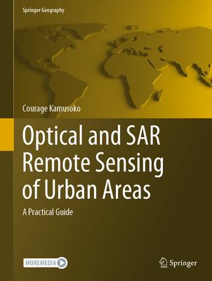
This book offers an introduction to remotely sensed image processing and classification in R using machine learning algorithms. It also provides a concise and practical reference tutorial, which equips readers to immediately start using the software platform and R packages for image processing and classification.
This book is divided into five chapters. Chapter 1 introduces remote sensing digital image processing in R, while chapter 2 covers pre-processing. Chapter 3 focuses on image transformation, and chapter 4 addresses image classification. Lastly, chapter 5 deals with improving image classification.
R is advantageous in that it is open source software, available free of charge and includes several useful features that are not available in commercial software packages. This book benefits all undergraduate and graduate students, researchers, university teachers and other remote- sensing practitioners interested in the practical implementation of remote sensing in R.商品描述(中文翻譯)
本書介紹了如何使用機器學習演算法在 R 中進行遙感影像處理和分類。它還提供了一個簡明且實用的參考教程,使讀者能夠立即開始使用該軟體平台和 R 套件進行影像處理和分類。
本書分為五個章節。第一章介紹了 R 中的遙感數位影像處理,第二章涵蓋了前處理。第三章專注於影像轉換,第四章則探討影像分類。最後,第五章處理改善影像分類的問題。
R 的優勢在於它是開源軟體,免費提供,並包含一些商業軟體包中沒有的實用功能。本書對所有本科生和研究生、研究人員、大學教師以及其他對在 R 中實際實施遙感感興趣的從業者都有幫助。
作者簡介
作者簡介(中文翻譯)
Courage Kamusoko 是日本亞洲航空調查的高級研究員。他的專業領域包括土地使用/覆蓋變化建模,以及地理空間數據庫管理系統的設計與實施。他的主要研究興趣為遙感影像分析、土地使用/覆蓋建模以及機器學習。除了專注於地理空間研究和諮詢外,他還教授針對地理空間分析和建模的實用機器學習課程。


